Carl and Table Lakes Backpack
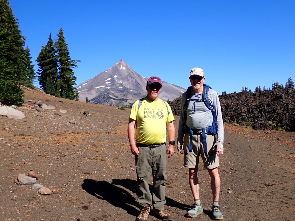
A couple of years ago, I hiked with a TCO group into beautiful Carl Lake, hoping to explore some of the nearby features on the south side of Mt. Jefferson. It was mid-June, and we had a great time at the lake, but were limited in our wider explorations by lingering snow and blowdown on the trail. I resolved to return a little later in the season, and was able to secure a Central Cascades permit this year for three days from September 15-17. I was joined on this trip by David Noyes and Gregory Bishop.
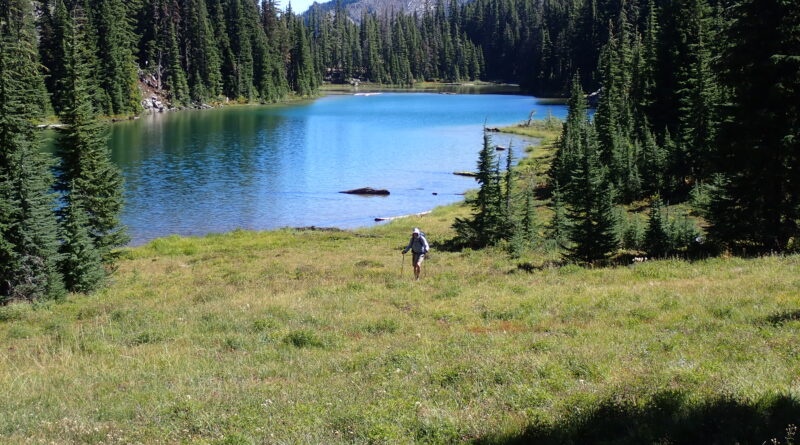
With excellent weather and AQI in the forecast, we hiked on Day One into Carl Lake along the Cabot Lake trail (5 miles, 1000′ elevation gain) to set up a base camp. We found numerous good campsites and only one other party, who had pitched their tent at the other end of the lake. After dinner, we took a side trip to visit South Cinder Cone (4.5 miles RT, 1200′ elevation gain), with its unique views of the central Cascades, from Black Butte to the east, Broken Top, Three Sisters, Washington and Three-Fingered Jack to the south, and Jefferson looming large to the north.
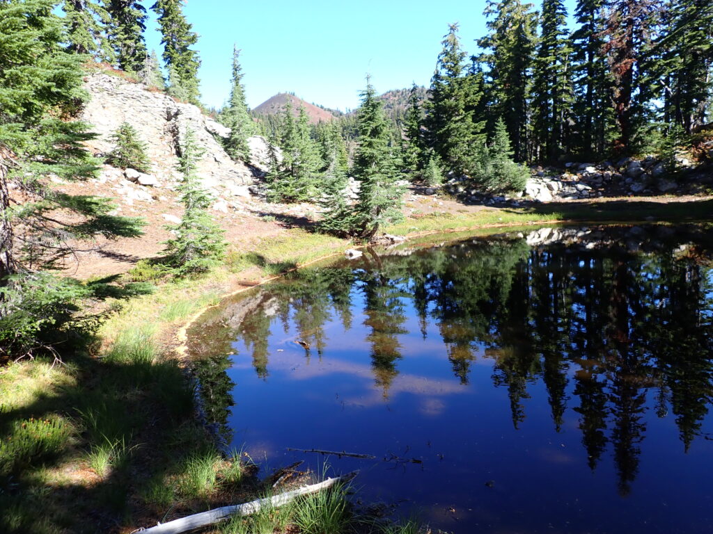
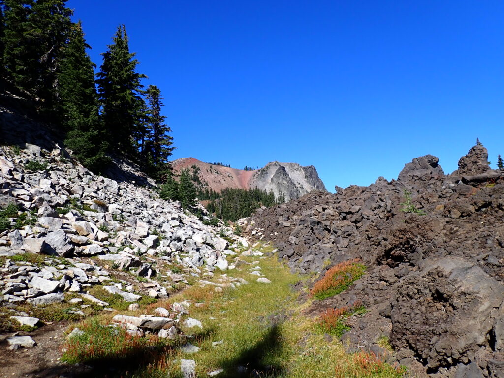
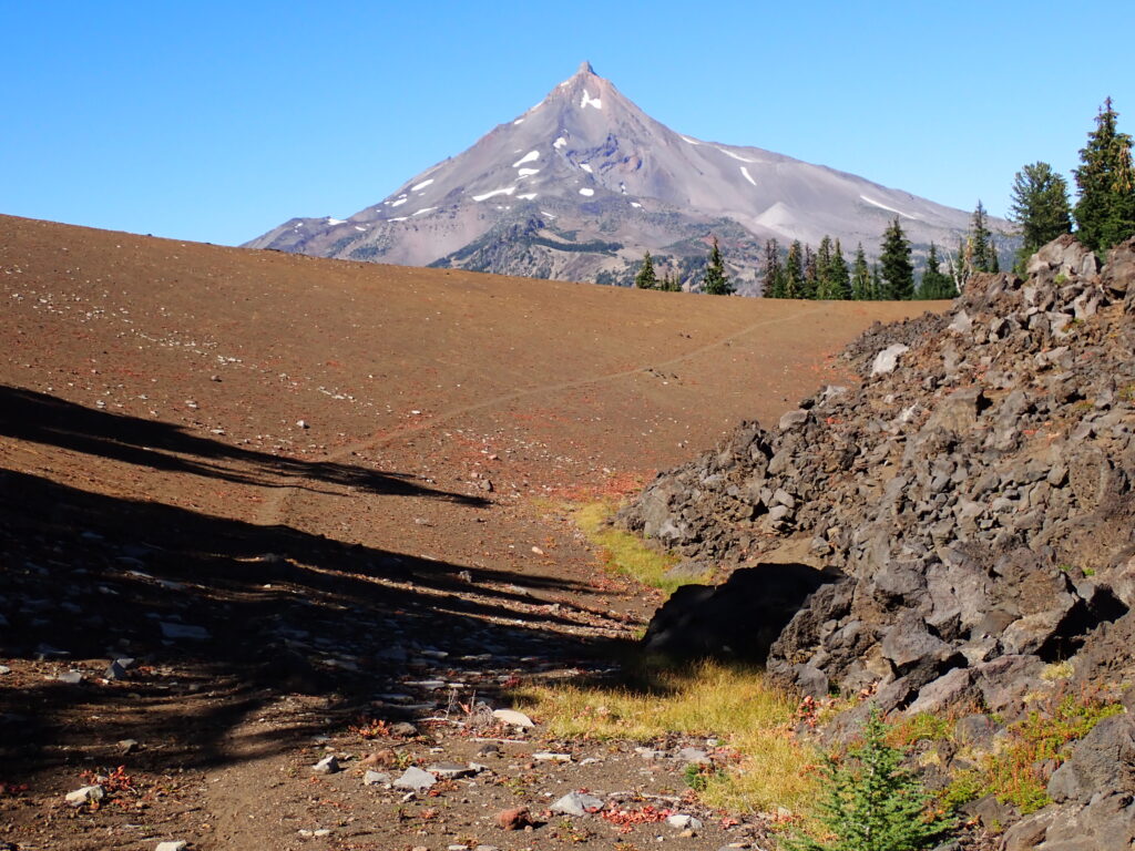
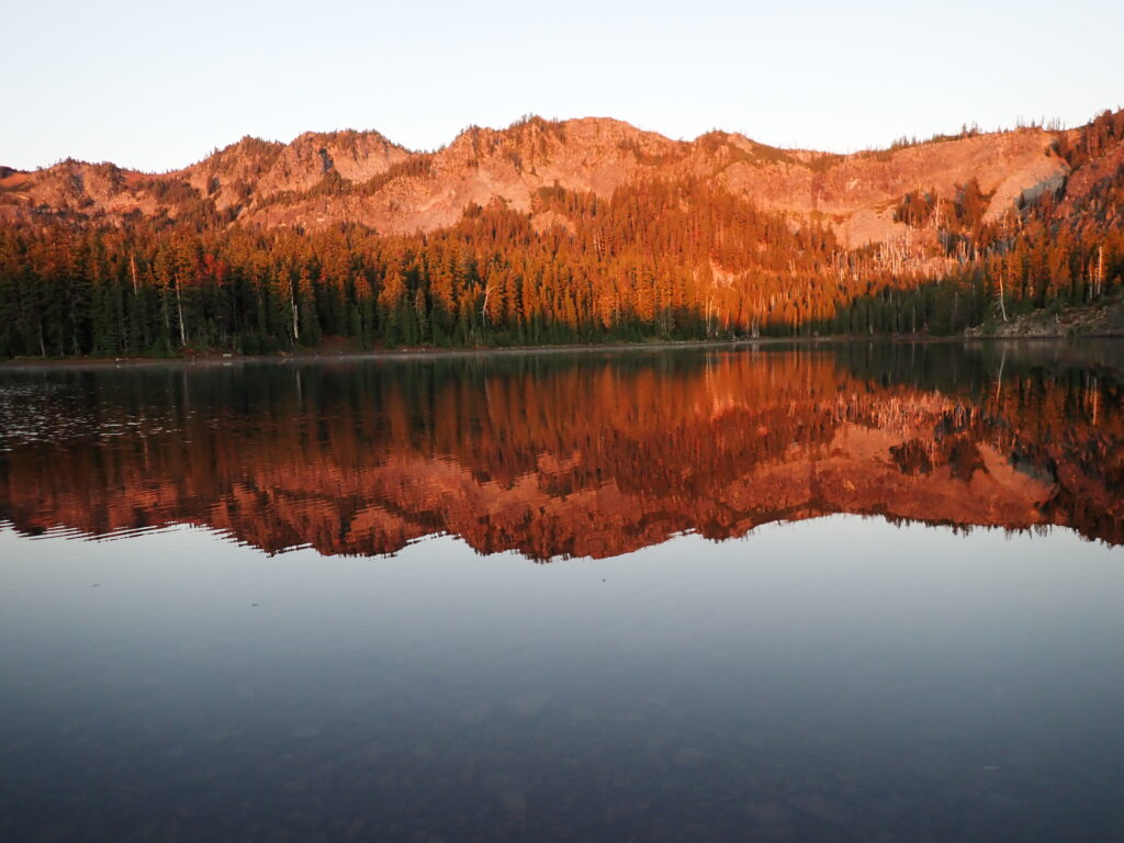
On Day Two, we headed north on the Cabot Lake trail (also called the Table Lake trail on one trail sign), passing through remarkable landscapes with lava flows, mountain views, deep forest and hidden lakes, to arrive at secluded Table Lake in the heart of the Mt. Jefferson Wilderness. After lunch, Greg was brave enough to take a brief dip in the lake, finding the water was decidedly not warm. We returned to our camp at Carl Lake after an exceptional day in the wilderness, during which we saw no people other than ourselves, and were all alone at the Lake that evening. The Milky Way shone clearly, with so many stars I could hardly make out the individual constellations.
We broke camp the next morning and reluctantly returned to our car, feeling refreshed and rejuvenated. It had been a great trip.
Tom Thrall
![]()